Start here
Initial evaluation
Free no commitment
Send us the list of properties you're searching for and we'll give you an overall picture of how likely we are to locate them.
- We tell you what's possible
- No obligation to continue
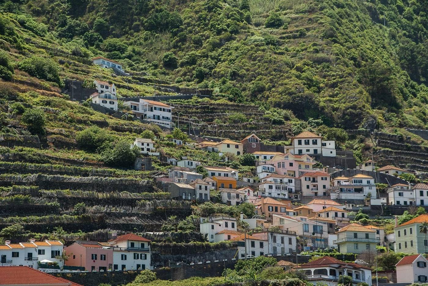
We help you find, document and georeference your family's property.
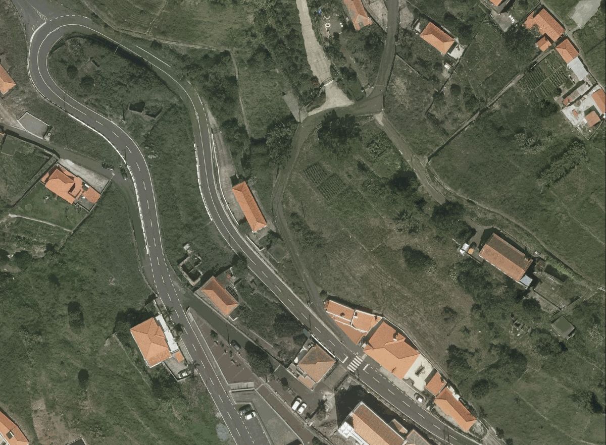
A rural property cannot be sold or transferred without being identified and georeferenced.
To settle an inheritance you need to know exactly which plot it is and where it lies.
Banks and support schemes require a clearly identified, registered property.
Once the property is georeferenced at BUPi, all of this becomes possible again.
Registration at BUPi is free until 30 September 2026 (Decree-Law 87/2026).
Source: Decree-Law no. 87/2026 of 15 April (Government of Portugal / Diário da República): georeferencing (RGG) is mandatory in the documents evidencing the transfer of rural and mixed properties.
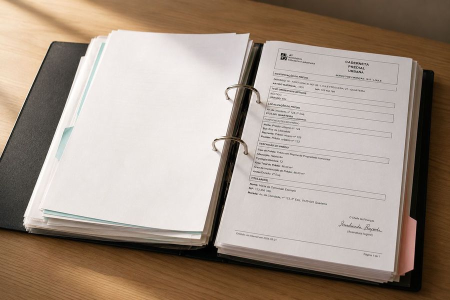
Send us the properties' paperwork: cadernetas, old deeds, certificates. Add anything else that might help, like names, places, and what the family remembers.
We combine public registries, historic records, old aerial photographs and modern mapping in our own custom-built software to locate your properties and compile the evidence to support them.
We walk you through the results on a short video call, and you receive a report with the identified locations and the evidence behind them, plus KML geodata files ready to use for the BUPi registration.
If you choose, we handle the official georeferencing (RGG) of your parcels with BUPi, attending the appointments with the BUPi technician on your behalf.*
*This step requires a simple power of attorney (procuração) so we can represent you at the BUPi office.
Send us the list of properties you're searching for and we'll give you an overall picture of how likely we are to locate them.
We find your land and hand you a proof dossier.
Location and BUPi Georeferencing (RGG), from start to finish.
Prices per plot (matriz). Registration is done in partnership with a BUPi-certified solicitor; the solicitor's fees may be charged separately.
Every lost parcel leaves a trail. An article number, boundary descriptions naming the old neighbours, a locality no modern map shows. That's often all that's left.
Our software reads that trail, crosses it with public registry data, ancestry records and modern cartography, and looks into the past through old aerial photographs. It turns these signals into a location prediction. We then verify it, piece by piece, against the evidence until we're confident it holds.
Tell us what you know about your land and we'll give you an honest read on whether we can find it. No cost, no commitment. We reply within 2 working days.
Thank you. We'll reply within 2 working days. Your documents stay private.
We work with whatever you have. The Caderneta Predial and Registo Predial are a good start. Any additional information you can gather increases the likelihood of locating the property, for example deeds (escrituras), handwritten notes or sketches, or simply what the family remembers. And if you have several plots close to one another, sharing everything you have on each of them raises those chances further. Neighbouring parcels often help us identify the others.
Yes. Most families we help live abroad. Everything can be done remotely, by email or WhatsApp, in Portuguese or English. In some cases we may ask you to sign a simplified power of attorney (procuração simplificada) so we can request additional documents or information on your behalf from Portuguese bodies such as the Registo Predial (land registry) or the AT (tax authority). Alternatively, we can work directly with your appointed solicitor or lawyer, if you already have one.
It varies case by case. Locating a property can take anywhere from a week or two to several months, depending on factors like how much information exists, the parish, and how complex the parcel's history is. We reply within 2 working days and give you an honest estimate for your case from the start.
Yes — that's the most common case. Locating the parcel doesn't require the inheritance to be settled; registering it in the heirs' names requires a formal heirship document (habilitação de herdeiros).
No. We are an independent service.
Not always. Some properties can't be located with certainty from the available information. If we don't find it, you pay nothing.
Yes. Your documents and data are kept private and handled under RGPD/GDPR. They are never shared without your consent.
No. Those are legal questions reserved to lawyers and solicitadores. We give you generic, factual information; anything that starts with "in my specific case, what should I do" should be referred to your solicitador.
“We thought the properties were lost for ever, but now they're located and registered in our names. My father would be so happy to know.”
“The people at Nosso Terreno were so helpful. Without them, I don't know what we would have done.”
Beyond the location, we can also help with genealogy, heirs and surveys.
Get in touchWe rebuild your family's history, parish by parish, from baptism, marriage and death records.
We identify all the heirs of an unsettled inheritance, so the family's estate can be regularised or sold.
A precise survey of your land's boundaries, in partnership with a certified surveyor.
We capture aerial imagery of the land and surrounding area, for a clear view from above.